
Datasets
177 datasets published by Cheshire East Council on its ArcGIS Hub: tables you can preview and query, documents and a map.
177 results
 Table
Business Rates & Council Tax
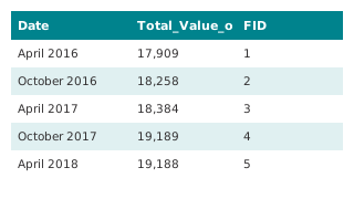
Business Rates - Credits written on
This dataset details the combined amount of credits written. We update this dataset quarterly. When someone no longer liable for business rates leaves an account in credit, we normally refund the credit back to them. But if we don't know wh
 Table
Business Rates & Council Tax
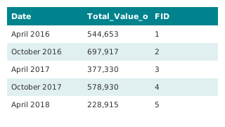
Business Rates - Accounts in Credit
This dataset details the combined amount of credits held on Business Rates accounts. We update this dataset quarterly. Accounts can be in credit for a number of reasons, including following a revaluation that decreases the rateable value. W
 Table
Spending & Procurement
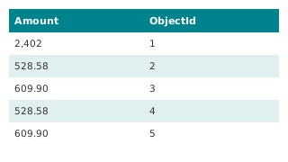
Expenditure exceeding 500 GBP (2026/27)
This dataset details each individual item of expenditure that exceeds £500 for the financial year 2025/26, as required by the Local Government Transparency Code 2015. This includes items of expenditure consistent with Local Government Assoc
 Table
Spending & Procurement
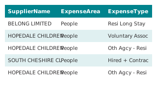
Expenditure exceeding 500 GBP, all years (combined)
Every yearly "Expenditure exceeding 500 GBP" dataset the council publishes on its Hub, 2019/20 to 2026/27, joined into one table by this demo: 8 years, 317,295 payment lines over £500. Column names and date formats differ between years; her
Air Quality & Environment
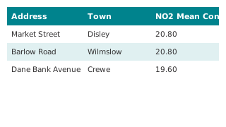
Diffusion Tubes (NO2) Data for Cheshire East 2026
Monthly and annual average NO2 mean concentrations (µg/m3) from diffusion tubes across Cheshire East. NOTE - a figure of zero (0) indicates that there is no data for that month. All raw data is subject to Defra approved bias corrections and
 Table
Air Quality & Environment
Analyser Air Quality Quarterly Data
 Map
Air Quality & Environment
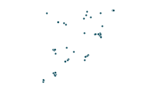
Analyser Air Quality Quarterly Data
Data provided by the environment team. A valueof 0 indicates the data has not yet been provided for that timeframe. All data is to be treated as provisional until the final ratified annual averages are determined. The annual average objecti
 Map
Air Quality & Environment
NO2 Diffusion tube data 2026 (Air Quality)
Monthly and annual average NO2 mean concentrations (µg/m3) from diffusion tubes across Cheshire East. NOTE - a figure of zero (0) indicates that there is no data for that month. All raw data is subject to Defra approved bias corrections and
Highways & Transport
Cheshire East Highways Performance Dashboard
Dashboard of Highways performance from data provided by the Cheshire East Highways team.
Air Quality & Environment
Air Quality in Cheshire East
Air Pollution is any chemical, or other material in the air which detracts from its quality. This could be smoke, soot particles, odours or chemicals such as sulphur dioxide and nitrogen dioxide. Many activities cause air pollution, however
 Table
Spending & Procurement
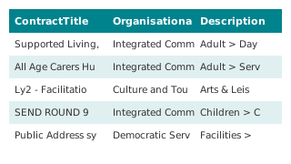
Procurement Information - Contracts Register (2026/27)
This dataset details any contract, commissioned activity, purchase order, framework agreement and any other legally enforceable agreement with a value that exceeds £5,000 in the financial year 2026/27 , as required by the Local Government T
 Table
Spending & Procurement
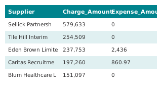
Procurement Information - Invitations to Tender (July 2026 to December 2026)
This dataset contains details of Invitations to Tender expected to be issued during the period. It is a forward look at ITT's for contracts to provide goods and/or services with a value that exceed £5,000 as required by the Local Government
 Table
Spending & Procurement
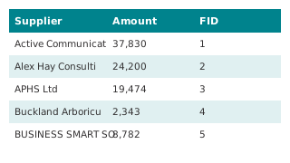
Spend Report of Comensura by Agency (2026/27)
The Council has vender neutral solutions in place for temporary/agency staff. This report provides additional transparency, a quarterly breakdown of the expenditure under this call-off contract
 Table
Spending & Procurement
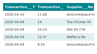
Spend Report of Bloom Procurement Services Ltd by Company (2026/27)
The Council has vender neutral solutions in place for Specialist Professional Services. This report provides additional transparency, a quarterly breakdown of the expenditure under this call-off contract
 Table
Spending & Procurement
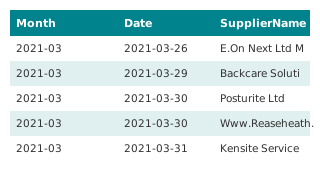
Purchase Card Spend Report 2026/27
We publish purchase card spend on a quarterly basis. We aim to update this dataset quarterly, within a month of the end of each quarter. The departments in this dataset do not align to those in the Council's £500 spend report. This is becau
 Table
Spending & Procurement
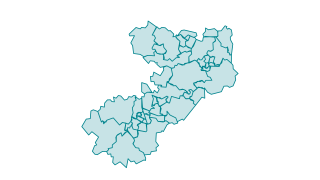
Purchase Card Spend, all years (combined)
Every yearly "Purchase Card Spend" dataset the council publishes on its Hub, 2021/22 to 2026/27, joined into one table by this demo: 6 years, 66,781 purchase card transactions. Column names and date formats differ between years; here they a
 Map
Boundaries
Ward Boundary Cheshire East (2027 onwards)
Cheshire East is broken down in to 47 electoral wards. The previous wards were setup in 2011 by the Local Government Boundary Commission for England. The Commission carried out an electoral review of Cheshire East between January 2024 - May
 Table
Spending & Procurement
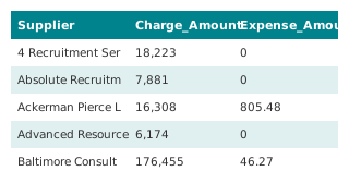
Spend Report of Comensura by Agency (2025/26 Q4)
The Council has vender neutral solutions in place for temporary/agency staff. This report provides additional transparency, a quarterly breakdown of the expenditure under this call-off contract
 Table
Spending & Procurement
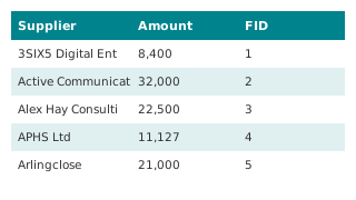
Spend Report of Bloom Procurement Services Ltd by Company (2025/26 Q4)
The Council has vender neutral solutions in place for Specialist Professional Services. This report provides additional transparency, a quarterly breakdown of the expenditure under this call-off contract
Planning & Land
Brownfield Land Register for Cheshire East 2024/2025
This dataset is the brownfield land register for the Cheshire East area. It contains previously developed land within Cheshire East that the council considers appropriate for residential development (the brownfield land register).
 Table
Planning & Land
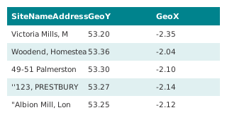
Brownfield Land Register for Cheshire East 2024/2025
This dataset is the brownfield land register for the Cheshire East area. It contains previously developed land within Cheshire East that the council considers appropriate for residential development (the brownfield land register).
Planning & Land
Local Land and Building Assets - Map View by Ward 2026
Details of land and building assets owned by Cheshire East Council Feb 2026 that meet the requirements and definitions under the Local Government Transparency Code 2015. This information is updated on an annual basis. A dataset view is also
 Table
Planning & Land
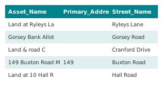
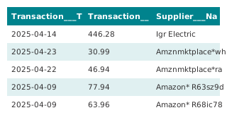
Local Land and Building Assets - Table View 2026
Details of land and building assets owned by Cheshire East Council Feb 2026 that meet the requirements and definitions under the Local Government Transparency Code 2015. This information is updated on an annual basis. A map of the data by W
 Table
Spending & Procurement
Purchase Card Spend Report 2025/26
We publish purchase card spend on a quarterly basis. We aim to update this dataset quarterly, within a month of the end of each quarter. The departments in this dataset do not align to those in the Council's £500 spend report. This is becau
Spending & Procurement
Provider Selection Regime (PSR) Annual Summary 2025
The Provider Selection Regime (PSR) came into force on 1 January 2024. It sets out the approach that relevant authorities must follow when arranging health care services in scope of the regime. The PSR aims to make commissioning more flexib
Pay & Workforce
Gender Pay Gap Report (2024/2025)
The Equality Act 2010 (Specific Duties and Public Authorities) Regulations 2017 requires all employers with more than 250 employees to to report annually on their gender pay gap. The data in this report was collected on 31 March 2026. T he
Pay & Workforce
Trade Union Facility Time (2026)
This dataset includes information about staff resources (in the form of union representatives) and spend related to Trade Union duties, as at 1st April 2026, as required by the Local Government Transparency Code 2015.
Pay & Workforce
Pay Multiple (2026)
This document contains Cheshire East’s pay multiple, as required by the Local Government Transparency Code 2015. The pay multiple is the ratio between the highest paid employee’s remuneration for the financial year and the median earnings f
Pay & Workforce
Senior Officers Salary Count (2026)
This document contains details of the salary band summary table as required by the Transparency Code 2015. This information is updated annually. The next update is due to be published by 30th April 2027.
Pay & Workforce
Senior Officers Salaries and Responsibilities (2026)
This document contains details of salaries and responsibilities for senior officers with basic salaries over £50,000, as required by the Transparency Code 2015. This information is updated annually. The next update is due to be published by
Pay & Workforce
Senior Management Organisation Chart (Tiers 1-3) April 2026
An organisation chart covering the top three management tiers of Cheshire East Council, as required by the Local Government Transparency Code. The chart represents the position as at 1st April 2026. This information is updated annually, and
Pay & Workforce
Senior Management Organisation Chart (Tiers 1-3) April 2025
An organisation chart covering the top three management tiers of Cheshire East Council, as required by the Local Government Transparency Code. The chart represents the position as at 1st April 2025. This information is updated annually, and
Pay & Workforce
Gender Pay Gap Report (2025/2026)
The Equality Act 2010 (Specific Duties and Public Authorities) Regulations 2017 requires all employers with more than 250 employees to to report annually on their gender pay gap. The data in this report was collected on 31 March 2025. T he
Air Quality & Environment
Permitted Industrial Processes PPC
This data shows the industrial processes regulated by Cheshire East Council. All industrial processes have the potential to release pollution to land, air and water. This pollution can pose a health risk to people as well as damaging the en
 Map
Air Quality & Environment
Permitted Industrial Processes (2025 / 2026) PPC
This data shows the industrial processes regulated by Cheshire East Council. All industrial processes have the potential to release pollution to land, air and water. This pollution can pose a health risk to people as well as damaging the en
 Table
Spending & Procurement
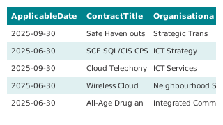
Procurement Information - Contracts Register (2025/26)
This dataset details any contract, commissioned activity, purchase order, framework agreement and any other legally enforceable agreement with a value that exceeds £5,000 in the financial year 2025/26 , as required by the Local Government T
 Table
Spending & Procurement
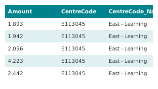
Expenditure exceeding 500 GBP (2025/26)
This dataset details each individual item of expenditure that exceeds £500 for the financial year 2025/26, as required by the Local Government Transparency Code 2015. This includes items of expenditure consistent with Local Government Assoc
Planning & Land
Brownfield Land Register for Cheshire East 2026
This dataset is the brownfield land register for the Cheshire East area. It contains previously developed land within Cheshire East that the council considers appropriate for residential development (the brownfield land register).
Business Rates & Council Tax
Cheshire East Council Tax Charges Map View (2026/2027)
This map shows the Council Tax charges for each band for the period 1 April 2026 to 31 March 2027. The total amount due is made up of charges for: Cheshire East Council Cheshire Fire Authority Cheshire Police Authority (shown as Police and
Business Rates & Council Tax
Cheshire East Council Tax Charges Map View (2025/2026)
This map shows the Council Tax charges for each band for the period 1 April 2025 to 31 March 2026. The total amount due is made up of charges for: Cheshire East Council Cheshire Fire Authority Cheshire Police Authority (shown as Police and
Air Quality & Environment
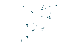
Diffusion Tubes (NO2) and Air Quality Management Areas 2025
Monthly and annual average NO2 mean concentrations (µg/m3) from diffusion tubes across Cheshire East. NOTE - a figure of zero (0) indicates that there is no data for that month. All raw data is subject to Defra approved bias corrections and
 Map
Air Quality & Environment
NO2 Diffusion tube data 2025 (Air Quality Data)
Monthly and annual average NO2 mean concentrations (µg/m3) from diffusion tubes across Cheshire East. NOTE - a figure of zero (0) indicates that there is no data for that month. All raw data is subject to Defra approved bias corrections and
Air Quality & Environment
Cheshire East Tree Planting
Cheshire East Council is committed to becoming carbon neutral for our own council operations by 2030. We have also committed to raising awareness of the importance of taking action to combat climate change across the borough, working with o
Air Quality & Environment
Cheshire East Tree Planting
Cheshire East Council is committed to becoming carbon neutral in council operations by 2030. Find out information here about tree planting and other carbon projects taking place across the borough.
Air Quality & Environment
Cheshire East Tree Planting and Carbon Projects Map 2025
The interactive map displays the locations of Cheshire East Council’s carbon projects, including: Solar Farm – the site of the Council’s solar energy generation. Renewable Installations – buildings owned by the Council where solar panels an
Air Quality & Environment
Tree Planting In Cheshire East Webmap
Webmapping application showing the locations of tree planting schemes in Cheshire East.
 Map
Air Quality & Environment
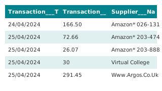
Carbon Projects Renewable Installations Heat Pump 2025 Data
 Table
Spending & Procurement
Purchase Card Spend (2024/25)
We publish purchase card spend on a quarterly basis. We aim to update this dataset quarterly, within a month of the end of each quarter. The departments in this dataset do not align to those in the Council's £500 spend report. This is becau
 Table
Spending & Procurement
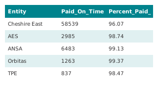
Invoices paid within 30 days (2024/25)
We aim to publish data for 2025/26 as soon as these figures are available after the start of the next financial year.
Pay & Workforce
Trade Union Facility Time (2025)
This dataset includes information about staff resources (in the form of union representatives) and spend related to Trade Union duties, as at 1st April 2025, as required by the Local Government Transparency Code 2015.
Pay & Workforce
Trade Union Facility Time (2024)
This dataset includes information about staff staff resources (in the form of union representatives) and spend related to Trade Union duties, as at 1st April 2024, as required by the Local Government Transparency Code 2015.
Pay & Workforce
Pay Multiple (2025)
This document contains Cheshire East’s pay multiple, as required by the Local Government Transparency Code 2015. The pay multiple is the ratio between the highest paid employee’s remuneration for the financial year and the median earnings f
Pay & Workforce
Senior Officers Salary Count (2025)
This document contains details of the salary band summary table as required by the Transparency Code 2015. This information is updated annually. The next update is due to be published by 30th April 2026.
Pay & Workforce
Senior Officers Salary Count (2024)
This document contains details of the salary band summary table as required by the Transparency Code 2015. This information is updated annually. The next update is due to be published by 30th April 2025
Pay & Workforce
Senior Officers Salaries and Responsibilities (2025)
This document contains details of salaries and responsibilities for senior officers with basic salaries over £50,000, as required by the Transparency Code 2015. This information is updated annually. The next update is due to be published by
Boundaries
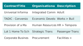
Cheshire East Ward Boundary Changes
Data taken from the Local Boundary Commission website and combined with existing ward boundaries at a Cheshire East level. This product is a swipe map comparison between the existing boundary and the final recommendations made by the Bounda
 Table
Spending & Procurement
Procurement Information - Contracts Register (2024/25)
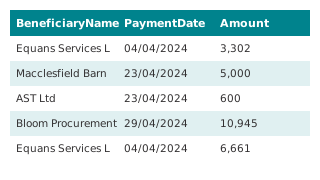
This dataset details any contract, commissioned activity, purchase order, framework agreement and any other legally enforceable agreement with a value that exceeds £5,000 in the financial year 2024/25 , as required by the Local Government T
 Table
Spending & Procurement
Expenditure exceeding 500 GBP (2024/25)
This dataset details each individual item of expenditure that exceeds £500 for the financial year 2024/25, as required by the Local Government Transparency Code 2015. This includes items of expenditure consistent with Local Government Assoc
Business Rates & Council Tax
Cheshire East Council Tax Charges Map View (2024/2025)
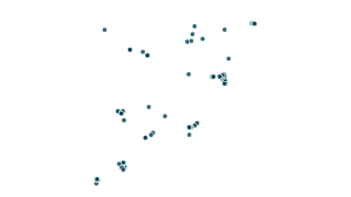
This map shows the Council Tax charges for each band for the period 1 April 2024 to 31 March 2025. The total amount due is made up of charges for: Cheshire East Council Cheshire Fire Authority Cheshire Police Authority (shown as Police and
 Map
Air Quality & Environment
Air Quality Monitoring NO2 Diffusion Tube Data 2024
Air Quality & Environment
Diffusion Tubes (NOx) and Air Quality Management Areas 2024
Monthly and annual average NO2 mean concentrations (µg/m3) from diffusion tubes across Cheshire East. NOTE - a figure of zero (0) indicates that there is no data for that month. All raw data is subject to Defra approved bias corrections and
Boundaries
Parish Councils and Meetings 2023 Boundary Open Data Site
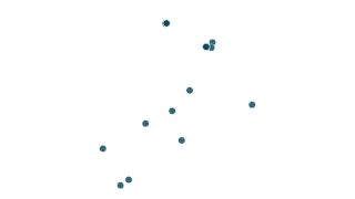
Boundaries of the Parish Councils and Meetings at a Cheshire East Level.
 Map
Planning & Land
Park Homes and Caravan Sites
This is a list of the Park Homes and Caravan Sites within Cheshire East Council. Disclaimer: All Site Rules received by Cheshire East Council are required to be published under Regulation 16 of the Mobile Homes (Site Rules) (England) Regula
Pay & Workforce
Senior Management Organisation Chart (Tiers 1-3) April 2024
An organisation chart covering the top three management tiers of Cheshire East Council, as required by the Local Government Transparency Code. The chart represents the position as at 1st April 2024. This information is updated annually, and
Pay & Workforce
Senior Management Organisation Chart (Tiers 1-3) April 2023
An organisation chart covering the top three management tiers of Cheshire East Council, as required by the Local Government Transparency Code. The chart represents the position as at 1st April 2023. This information is updated annually, and
Pay & Workforce
Trade Union Facility Time (2023)
This dataset includes information about staff staff resources (in the form of union representatives) and spend related to Trade Union duties, as at 1st April 2023, as required by the Local Government Transparency Code 2015.
Pay & Workforce
Pay Multiple (2024)
This document contains Cheshire East’s pay multiple, as required by the Local Government Transparency Code 2015. The pay multiple is the ratio between the highest paid employee’s remuneration for the financial year and the median earnings f
Pay & Workforce
Pay Multiple (2023)
This document contains Cheshire East’s pay multiple, as required by the Local Government Transparency Code 2015. The pay multiple is the ratio between the highest paid employee’s remuneration for the financial year and the median earnings f
Pay & Workforce
Senior Officers Salary Count (2023)
This document contains details of the salary band summary table as required by the Transparency Code 2015. This information is updated annually. The next update is due to be published by 30th April 2024.
Pay & Workforce
Senior Officers Salaries and Responsibilities (2024)
This document contains details of salaries and responsibilities for senior officers with basic salaries over £50,000, as required by the Transparency Code 2015. This information is updated annually. The next update is due to be published by
People & Places
Fuel Poverty in Cheshire East
The metric for Fuel poverty in England is the Low Income Low Energy Efficiency (LILEE) indicator A household is considered to be fuel poor if: 1) They have a fuel poverty energy efficiency rating (FPEER) of band D or below; and 2) If they w
People & Places
Village of 100 people 2024 Update
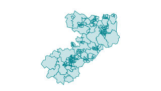
Please note that items are not comparable across the characteristics and are designed to give an overview only. Data references available on page 2.
 Map
People & Places
2019 Deprivation by LSOAs
Small area (LSOA) boundaries and associated deprivation levels in Cheshire East, including national percentile and national deciles. This includes information for the seven sub domains and two additional domains for income deprivation. The
 Table
Spending & Procurement
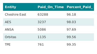
Invoices paid within 30 days (2023/24)
We aim to publish data for 2024/25 as soon as these figures are available after the start of the next financial year.
 Table
Spending & Procurement
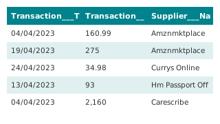
Purchase Card Spend (2023/24)
We publish purchase card spend on a quarterly basis. We aim to update this dataset quarterly, within a month of the end of each quarter. The departments in this dataset do not align to those in the Council's £500 spend report. This is becau
 Table
Spending & Procurement
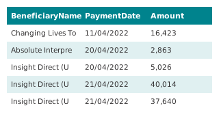
Expenditure exceeding 500 GBP (2022/23)
This dataset details each individual item of expenditure that exceeds £500 for the financial year 2022/23, as required by the Local Government Transparency Code 2015. This includes items of expenditure consistent with Local Government Assoc
 Table
Spending & Procurement
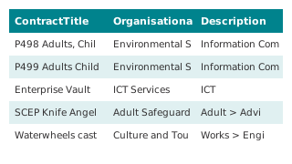
Procurement Information - Contracts Register (2023/24)
This dataset details any contract, commissioned activity, purchase order, framework agreement and any other legally enforceable agreement with a value that exceeds £5,000 in the financial year 2023/23 , as required by the Local Government T
People & Places
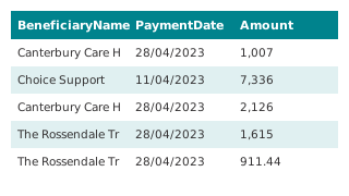
Cheshire East Census 2021 Summary Document
Summary document of Census 2021 headline results collated by Cheshire East's Research and Consultation Team.
 Table
Spending & Procurement
Expenditure exceeding 500 GBP (2023/24)
This dataset details each individual item of expenditure that exceeds £500 for the financial year 2023/24, as required by the Local Government Transparency Code 2015. This includes items of expenditure consistent with Local Government Assoc
Pay & Workforce
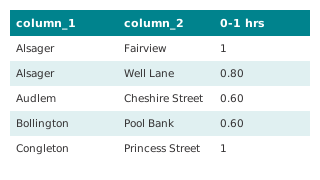
Gender Pay Gap Report (2023/2024)
The Equality Act 2010 (Specific Duties and Public Authorities) Regulations 2017 requires all employers with more than 250 employees to to report annually on their gender pay gap. The data in this report was collected on 31 March 2023. T he
 Table
Council Finance
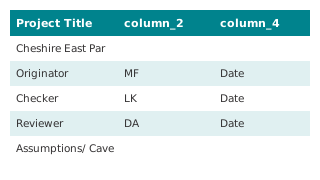
MTFS Parking Review Proposed Amendments to Proposals
Assesses out the potential impact that the proposed amendments contained within the final committee report may have on projected revenue. This workbook contain notes and descriptions to try and clearly show the process that has been followe
 Table
Council Finance
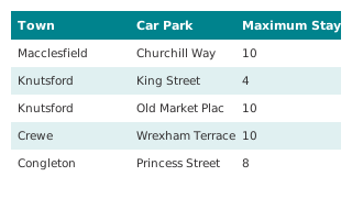
MTFS Parking Review Proposal 1 Revenue Projections
Contains the calculations used to generate revenue projections for all of our current free towns and villages. This workbook contain notes and descriptions to try and clearly show the process that has been followed. The tabs have been order
 Table
Council Finance
MTFS Parking Review Free after 3pm Sensitivity Test
Assesses the projected revenue that could be generated from revoking Free after 3pm in existing car parks. This workbook contain notes and descriptions to try and clearly show the process that has been followed. The tabs have been ordered w
 Table
Business Rates & Council Tax
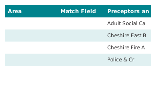
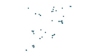
Cheshire East Council Tax Charges (2024/2025)
This file shows the Council Tax charges for each band for the period 1 April 2024 to 31 March 2025. The total amount due is made up of charges for: Cheshire East Council Cheshire Fire Authority Cheshire Police Authority (shown as Police and
 Map
Air Quality & Environment
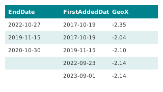
Air Quality Monitoring NO2 Diffusion Tube Data 2023
 Table
Planning & Land
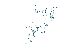
Brownfield Land Register for Cheshire East 2023/2024
This dataset is the brownfield land register for the Cheshire East area. It contains previously developed land within Cheshire East that the council considers appropriate for residential development (the brownfield land register).
Planning & Land
Brownfield Land Register for Cheshire East 2023/2024
 Map
Planning & Land
Brownfield Land Register for Cheshire East 2023/2024
 Table
Spending & Procurement
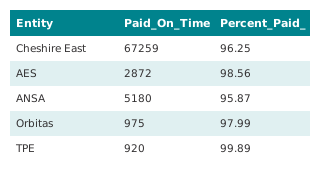
Invoices paid within 30 days (2022/23)
We aim to publish data for 2023/24 as soon as these figures are available after the start of the next financial year. You are free to re-use the data under the terms of the Open Government Licence.
Pay & Workforce
Senior Officers Salaries and Responsibilities (2023)
This document contains details of salaries and responsibilities for senior officers with basic salaries over £50,000, as required by the Transparency Code 2015. This information is updated annually. The next update is due to be published by
 Table
Spending & Procurement
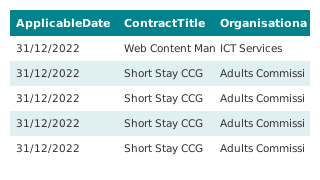
Procurement Information - Contracts Register (2022/23)
This dataset details any contract, commissioned activity, purchase order, framework agreement and any other legally enforceable agreement with a value that exceeds £5,000 in the financial year 2022/23 , as required by the Local Government T
 Table
Spending & Procurement
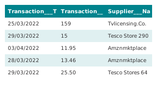
Purchase Card Spend (2022/23)
We publish purchase card spend on a quarterly basis. This dataset currently includes all data for 2022/23. The departments in this dataset do not align to those in the Council's £500 spend report. This is because different systems are used
Air Quality & Environment
Diffusion Tubes (NOx) and Air Quality Management Areas 2023
Monthly and annual average NO2 mean concentrations (µg/m3) from diffusion tubes across Cheshire East. NOTE - a figure of zero (0) indicates that there is no data for that month. All raw data is subject to Defra approved bias corrections and
Air Quality & Environment
Diffusion Tubes (NOx) and Air Quality Management Areas 2022
Monthly and annual average NO2 mean concentrations (µg/m3) from diffusion tubes across Cheshire East. NOTE - a figure of zero (0) indicates that there is no data for that month. All raw data is subject to Defra approved bias corrections and
Business Rates & Council Tax
Council Tax Charges 2023 2024 Parish Council Boundary
This map shows the Council Tax charges for each band for the period 1 April 2023 to 31 March 2024. The total amount due is made up of charges for: Cheshire East Council Cheshire Fire Authority Cheshire Police Authority (shown as Police and
Pay & Workforce
Senior Officers Salary Count (2022)
The number of senior employees with basic salaries of at least £50,000 as at 1st April 2022, as required by the Transparency Code 2015. Figures represent Senior Manager basic salaries as at the specified date; Senior Manager remuneration su
Pay & Workforce
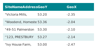
Senior Officers Salaries and Responsibilities (2022)
This document contains details of salaries and responsibilities for senior officers with basic salaries over £50,000, as required by the Transparency Code 2015. This information is updated annually. The next update is due to be published by
 Table
Planning & Land
Brownfield Land Register for Cheshire East 2022
This dataset is the brownfield land register for the Cheshire East area. It contains previously developed land within Cheshire East that the council considers appropriate for residential development (the brownfield land register).
Planning & Land
Brownfield Land Register for Cheshire East 2022
 Map
Planning & Land
Brownfield Land Register for Cheshire East 2022
This dataset is the brownfield land register for the Cheshire East area. It contains previously developed land within Cheshire East that the council considers appropriate for residential development (the brownfield land register).
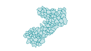 Map
Boundaries
Parish Councils and Meetings 2023 Boundary
 Map
Air Quality & Environment
Air Quality Monitoring NO2 Diffusion Tube Data 2022
Monthly and annual averages for the calendar year 2022 of NO2 mean concentrations (µg/m3) from diffusion tubes across Cheshire East. Each year the levels at each site (tube) are reviewed. For 2022 there are 90 sites or tubes. For more infor
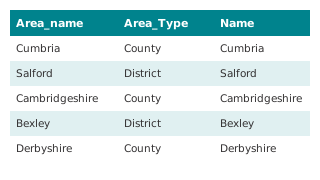 Table
People & Places
2021 Census first release
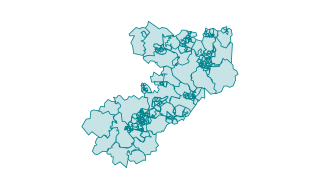
Headline results for Cheshire East, North West, England and other councils in England & Wales. This dataset is from the 2021 Census first release by the Office for National Statistics, more details are available on the council's website . A
 Map
People & Places
2010 Deprivation by LSOAs
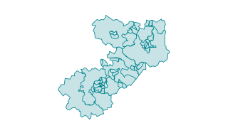
Small area (LSOA) boundaries and associated deprivation levels in Cheshire East, including national percentile and national deciles. This includes information for the seven sub domains and two additional domains for income deprivation. The
 Map
People & Places
2021 Middle Super Output Areas (MSOAs)
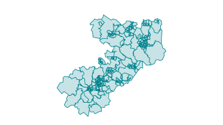
This file contains the boundaries, names and codes for 2021 Census Lower Layer Super Output Areas (LSOA) in Cheshire East as at 31 December 2021. These boundaries are created by the Office for National Statistics. Nationally, Middle Layer S
 Map
People & Places
2021 Lower Super Output Areas (LSOAs)
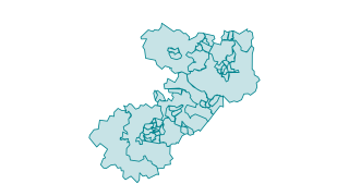
This file contains the boundaries, names and codes for 2021 Census Lower Layer Super Output Areas (LSOA) in Cheshire East as at 31 December 2021. These boundaries are created by the Office for National Statistics. Nationally, Lower Layer Su
 Map
People & Places
2011 Middle Super Output Areas (MSOAs)
This file contains the boundaries, names and codes for 2021 Census Lower Layer Super Output Areas (LSOA) in Cheshire East as at 31 December 2021. These boundaries are created by the Office for National Statistics. Nationally, Middle Layer S
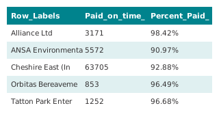 Table
Spending & Procurement
Invoices paid within 30 days (2021/22)
You are free to re-use this data under the terms of the Open Government Licence.
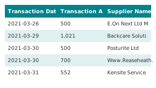 Table
Spending & Procurement
Purchase Card Spend (2021/22)
The data for Q1 and Q2 (April to September) contains spend above £500. The data for Q3 and Q4 (October to March) contains all spend. The departments in this dataset do not align to those in the Council's £500 spend report. This is because d
Pay & Workforce
Trade Union Facility Time (2022)
This dataset includes information about staff staff resources (in the form of union representatives) and spend related to Trade Union duties, as at 1st April 2021, as required by the Local Government Transparency Code 2015. You are free to
Pay & Workforce
Pay Multiple (2022)
This document contains Cheshire East’s pay multiple, as required by the Local Government Transparency Code 2015. The pay multiple is the ratio between the highest paid employee’s remuneration for the financial year and the median earnings f
Pay & Workforce
Senior Management Organisation Chart (Tiers 1-3) April 2022
An organisation chart covering the top three management tiers of Cheshire East Council, as required by the Local Government Transparency Code. The chart represents the position as at 1st April 2022. This information is updated annually, and
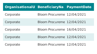 Table
Spending & Procurement
Expenditure exceeding 500 GBP (2021/22)
This dataset details each individual item of expenditure that exceeds £500 for the financial year 2021/22, as required by the Local Government Transparency Code 2015. Please note that due to a change in our finance system, there may be slig
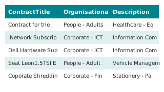 Table
Spending & Procurement
Procurement Information - Contracts Register (2021/22)
This dataset details any contract, commissioned activity, purchase order, framework agreement and any other legally enforceable agreement with a value that exceeds £5,000 in the financial year 2020/21 , as required by the Local Government T
COVID-19
Round 20 COVID-19 financial impact monitoring information
The Ministry of Housing, Communities and Local Government (MHCLG) is collecting data on the impact COVID-19 is having on local authority finances. This document shows Round 20 data submitted by CEC. A summary of data collected nationally ca
COVID-19
Round 19 COVID-19 financial impact monitoring information
The Ministry of Housing, Communities and Local Government (MHCLG) is collecting data on the impact COVID-19 is having on local authority finances. This document shows Round 19 data submitted by CEC. A summary of data collected nationally ca
COVID-19
Round 18 COVID-19 financial impact monitoring information
The Ministry of Housing, Communities and Local Government (MHCLG) is collecting data on the impact COVID-19 is having on local authority finances. This document shows Round 18 data submitted by CEC. A summary of data collected nationally ca
COVID-19
Round 17 COVID-19 financial impact monitoring information
The Ministry of Housing, Communities and Local Government (MHCLG) is collecting data on the impact COVID-19 is having on local authority finances. This document shows Round 17 data submitted by CEC. A summary of data collected nationally ca
COVID-19
Round 16 COVID-19 financial impact monitoring information
The Ministry of Housing, Communities and Local Government (MHCLG) is collecting data on the impact COVID-19 is having on local authority finances. This document shows Round 16 data submitted by CEC. A summary of data collected nationally ca
COVID-19
Round 15 COVID-19 financial impact monitoring information
The Ministry of Housing, Communities and Local Government (MHCLG) is collecting data on the impact COVID-19 is having on local authority finances. This document shows Round 15 data submitted by CEC. A summary of data collected nationally ca
COVID-19
Round 14 COVID-19 financial impact monitoring information
The Ministry of Housing, Communities and Local Government (MHCLG) is collecting data on the impact COVID-19 is having on local authority finances. This document shows Round 14 data submitted by CEC. A summary of data collected nationally ca
COVID-19
Round 13 COVID-19 financial impact monitoring information
The Ministry of Housing, Communities and Local Government (MHCLG) is collecting data on the impact COVID-19 is having on local authority finances. This document shows Round 13 data submitted by CEC. A summary of data collected nationally ca
COVID-19
Round 12 COVID-19 financial impact monitoring information
The Ministry of Housing, Communities and Local Government (MHCLG) is collecting data on the impact COVID-19 is having on local authority finances. This document shows Round 12 data submitted by CEC. A summary of data collected nationally ca
COVID-19
Round 11 COVID-19 financial impact monitoring information
The Ministry of Housing, Communities and Local Government (MHCLG) is collecting data on the impact COVID-19 is having on local authority finances. This document shows Round 11 data submitted by CEC. A summary of data collected nationally ca
COVID-19
Round 01 COVID-19 financial impact monitoring information
The Ministry of Housing, Communities and Local Government (MHCLG) is collecting data on the impact COVID-19 is having on local authority finances. This document shows Round 1 data submitted by CEC. A summary of data collected nationally can
People & Places
Map of Connected Community Centres
This is an interactive map of the centre locations
People & Places
Deprivation in Cheshire East
The main story about Deprivation in Cheshire East, used to embed other stories and content
 Map
Air Quality & Environment
Air Quality Monitoring NO2 Diffusion Tube Data 2021
Monthly and annual averages for the calendar year 2021 of NO2 mean concentrations (µg/m3) from diffusion tubes across Cheshire East. Each year the levels at each site (tube) are reviewed. For 2021, seven former AQMAs were revoked; Earle Str
People & Places
Rural Urban statistical area (LSOA) map
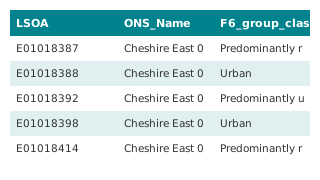
This dataset classifies statistical areas (lower super output areas or LSOAs) in Cheshire East on either a two level classification - rural or urban - or a six level classification; rural, predominantly rural, more rural than urban, more ur
People & Places
Rural Urban LSOA Methodology Note
This document explains how the statistical area (lower super output areas or LSOAs) rural urban classification for Cheshire East was created. This is available at either a two level classification - rural or urban - or a six level classific
 Table
People & Places
Rural Urban Classification for statistical areas (LSOAs)
This dataset classifies statistical areas (lower super output areas or LSOAs) in Cheshire East on either a two level classification - rural or urban - or a six level classification; rural, predominantly rural, more rural than urban, more ur
 Map
Air Quality & Environment
Permitted Industrial Processes (2021)
This data shows the industrial processes regulated by Cheshire East Council. All industrial processes have the potential to release pollution to land, air and water. This pollution can pose a health risk to people as well as damaging the en
 Table
Spending & Procurement
Expenditure exceeding 500 GBP (2020/21)
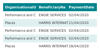
his dataset details each individual item of expenditure that exceeds £500 for the financial year 2020/21, as required by the Local Government Transparency Code 2015. Please note that due to a change in our finance system, there is a slight
 Table
People & Places
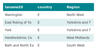
Population Change by Age Group
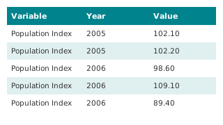
This datasets contain the most detailed population estimates and components of change for the mid-year population series. It includes estimates of population change by age groups for Cheshire East, compared to the North West and National. T
 Table
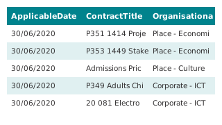
People & Places
Population Change and Components of Change
This datasets contain the most detailed population estimates and components of change for the mid-year population series. It includes estimates on migration, births and deaths for Cheshire East, our nearest statistical neighbours (CIPFA), t
 Table
Spending & Procurement
Procurement Information - Contracts Register (2020/21)
This dataset details any contract, commissioned activity, purchase order, framework agreement and any other legally enforceable agreement with a value that exceeds £5,000 in the financial year 2020/21 , as required by the Local Government T
 Map
People & Places
Footfall Towns Open Data
Data for the footfall levels in towns across Cheshire East including month on month percentage change and year by year percentage change. Data is updated on a monthly basis.
 Map
Air Quality & Environment
Air Quality Monitoring - NO2 Diffusion Tube Data 2020
Monthly and annual averages for the calendar year 2020 of NO2 mean concentrations (µg/m3) from diffusion tubes across Cheshire East. Each year the levels at each site (tube) are reviewed. A total of 35 sites were removed between 2019 and 20
COVID-19
Round 02 COVID-19 local authority financial management information
he Ministry of Housing, Communities and Local Government (MHCLG) is collecting data on the impact COVID-19 is having on local authority finances. This document shows Round 2 data submitted by CEC. A summary of data collected nationally can
COVID-19
Round 03 COVID-19 local authority financial management information
The Ministry of Housing, Communities and Local Government (MHCLG) is collecting data on the impact COVID-19 is having on local authority finances. This document shows Round 3 data submitted by CEC. A summary of data collected nationally can
COVID-19
Round 04 COVID-19 local authority financial management information
The Ministry of Housing, Communities and Local Government (MHCLG) is collecting data on the impact COVID-19 is having on local authority finances. This document shows Round 4 data submitted by CEC. A summary of data collected nationally can
COVID-19
Round 05 COVID-19 local authority financial management information
The Ministry of Housing, Communities and Local Government (MHCLG) is collecting data on the impact COVID-19 is having on local authority finances. This document shows Round 5 data submitted by CEC. A summary of data collected nationally can
COVID-19
Round 06 COVID-19 local authority financial management information
The Ministry of Housing, Communities and Local Government (MHCLG) is collecting data on the impact COVID-19 is having on local authority finances. This document shows Round 6 data submitted by CEC. A summary of data collected nationally can
COVID-19
Round 07 COVID-19 local authority financial management information
The Ministry of Housing, Communities and Local Government (MHCLG) is collecting data on the impact COVID-19 is having on local authority finances. This document shows Round 7 data submitted by CEC. A summary of data collected nationally can
COVID-19
Round 08 COVID-19 local authority financial management information
The Ministry of Housing, Communities and Local Government (MHCLG) is collecting data on the impact COVID-19 is having on local authority finances. This document shows Round 8 data submitted by CEC. A summary of data collected nationally can
COVID-19
Round 09 COVID-19 local authority financial management information
The Ministry of Housing, Communities and Local Government (MHCLG) is collecting data on the impact COVID-19 is having on local authority finances. This document shows Round 9 data submitted by CEC. A summary of data collected nationally can
COVID-19
Round 10 COVID-10 local authority financial management information
The Ministry of Housing, Communities and Local Government (MHCLG) is collecting data on the impact COVID-19 is having on local authority finances. This document shows Round 10 data submitted by CEC. A summary of data collected nationally ca
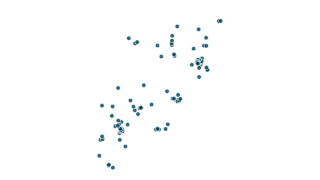 Map
Planning & Land
Brownfield Land 2020
This dataset is the brownfield land register for the Cheshire East area. It contains previously developed land within Cheshire East that the council considers appropriate for residential development (the brownfield land register).
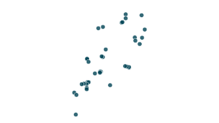 Map
People & Places
Connected Community Centres
Community venues across Cheshire East are changing to Connected Communities Centres in a scheme to make a wider range of activities and support services available on residents doorstep. Venues are nominated to become Connected Communities C
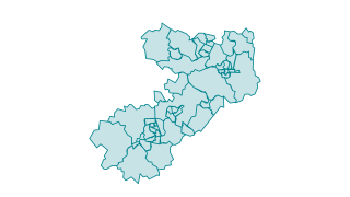 Map
Boundaries
Wards in Cheshire East
Cheshire East is broken down in to 52 electoral wards. The current wards were setup in 2011 by the Local Government Boundary Commission for England. The Commission carried out an electoral review of Cheshire East between February 2009 - Jan
People & Places
Map of 2010 Deprivation by LSOAs
A map showing the relative deprivation levels for small areas (LSOAs) in Cheshire East, including national ranking (deciles). View the map Boundary data sources used by permission of relevant providers © Crown Copyright Ordnance Survey and
People & Places
Map of 2015 Deprivation by LSOAs
A map showing the relative deprivation levels for small areas (LSOAs) in Cheshire East, including national ranking (deciles). View the map Boundary data sources used by permission of relevant providers © Crown Copyright Ordnance Survey and
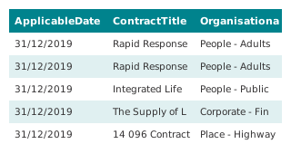 Table
Spending & Procurement
Procurement Information - Contracts Register (2019/20)
This dataset details any contract, commissioned activity, purchase order, framework agreement and any other legally enforceable agreement with a value that exceeds £5,000 in the financial year 2019/20 , as required by the Local Government T
 Table
Spending & Procurement
Expenditure exceeding 500 GBP (2019/20)
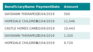
This dataset details each individual item of expenditure that exceeds £500 for the financial year 2019/20, as required by the Local Government Transparency Code 2015. This includes items of expenditure consistent with Local Government Assoc
 Map
Air Quality & Environment
Air Quality Monitoring - NO2 Diffusion Tube Data 2019
Monthly and annual averages for the calendar year 2019 of NO2 mean concentrations (µg/m3) from diffusion tubes across Cheshire East. NOTE - a figure of zero (0) indicates that there is no data for that month. All raw data is subject to Defr
 Map
Boundaries
Cheshire East Boundary
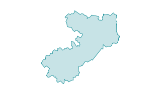
Boundary data sources used by permission © Crown Copyright Ordnance Survey and National Statistics.
 Map
Air Quality & Environment
Air Quality Management Areas (AQMAs)
Details on the air quality management areas that have been declared. All the areas (with one exception) are declared on the basis of being likely to breach the annual mean concentration of nitrogen dioxide, which is set as an Air Quality St
 Table
Planning & Land
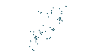
Brownfield Land 2018
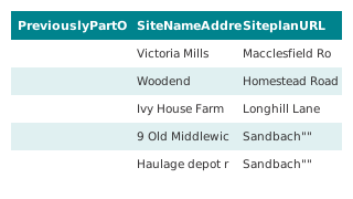
This dataset is the brownfield land register for the Cheshire East area. It contains previously developed land within Cheshire East that the council considers appropriate for residential development (the brownfield land register). Site boun
 Map
Planning & Land
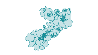
Brownfield Land 2019
This dataset is the brownfield land register for the Cheshire East area. It contains previously developed land within Cheshire East that the council considers appropriate for residential development (the brownfield land register). Site boun
 Map
People & Places
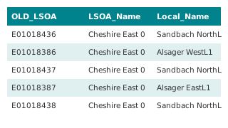
2004 Deprivation by LSOAs
Small area (LSOA) boundaries and associated deprivation levels in Cheshire East, including national percentile and national deciles. This includes information for the seven sub domains and two additional domains for income deprivation. Plea
 Table
People & Places
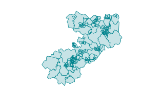
Deprivation for All Years by LSOAs
This is the data for deprivation levels for small areas (LSOAs) in Cheshire East, including national percentile and national deciles. If you would like to learn more about deprivation, including maps, please visit the Deprivation in Cheshir
 Map
People & Places
2015 Deprivation by LSOAs
Small area (LSOA) boundaries and associated deprivation levels in Cheshire East, including national percentile and national deciles. This includes information for the seven sub domains and two additional domains for income deprivation. The
 Map
People & Places
2011 Lower Super Output Areas (LSOAs)
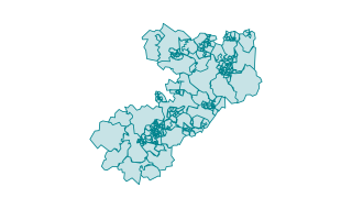
Boundaries for LSOAs with the ward which their population centre falls within. Each LSOA may fall within one or more wards, however the ward listed here is the location that the majority of the LSOA population lives within. Cheshire East ha
People & Places
Borough Profile (2019/20)
The Borough Profile provides a high level overview of Cheshire East. It brings together data from multiple council and third party sources into a single document. It contains information on Demographics, Learning, Health and Wellbeing, Cari
 Map
Boundaries
Care Communities (GP Cluster Boundaries)
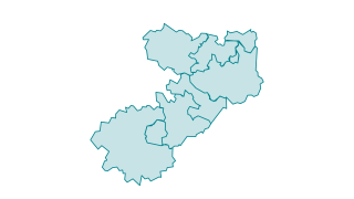
This dataset contains details on the GP Clusters, also known as Care Communities, in Cheshire East. GP Clusters are designed to provide an integrated health and social care range of services to populations of between 30,000 and 50,000 peopl
 Table
Spending & Procurement
Procurement Information - Contracts Register (2018/19)
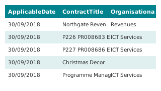
This dataset details any contract, commissioned activity, purchase order, framework agreement and any other legally enforceable agreement with a value that exceeds £5,000 for the financial year 2018/19 , as required by the Local Government
 Table
Spending & Procurement
Waste Contract
This dataset provides details of our existing waste collection contract, as required by the Local Government Transparency Code 2015. This is information was first published on 1st October 2015, as a one-off disclosure as required by the Cod
 Map
Air Quality & Environment
Air Quality Monitoring - NO2 Diffusion Tube Data 2018
Monthly and annual averages for the calendar year 2018 of NO2 mean concentrations (µg/m3) from diffusion tubes across Cheshire East. NOTE - a figure of zero (0) indicates that there is no data for that month. All raw data is subject to Defr
 Table
Spending & Procurement
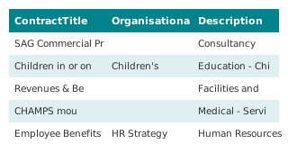
Procurement Information - Contracts Register (2016/17)
This dataset details any contract, commissioned activity, purchase order, framework agreement and any other legally enforceable agreement with a value that exceeds £5,000 for the financial year 2016/17 , as required by the Local Government
 Table
Spending & Procurement
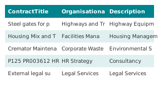
Procurement Information - Contracts Register (2017/18)
This dataset details any contract, commissioned activity, purchase order, framework agreement and any other legally enforceable agreement with a value that exceeds £5,000 for the financial year 2017/18, as required by the Local Government T
 Table
Boundaries
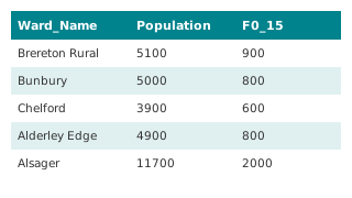
Ward Profile Data
This contains information gathered by the Research and Consultation from a range of sources. Detailed information about sources and time periods is included in the Ward Profile 2017 Data Dictionary (DOC, 35kb) . Ward Profiles (PDFs) based o
People & Places
Ethnicity Cheshire East Summary
Ethnicity is not a single measure, but a composite measure of many different factors that make up an individual or community. Ethnicity is not a fixed and is transient state making measuring it difficult. The most reliable estimates for eth
People & Places
Small Area (LSOA) Community Data
The information contained within the document covers a range of topics. Some of the information is now out of date, however the overall pattern of need and priority areas are still relevant. This information was collated to inform priority
Boundaries
Cheshire East Census Ward Atlas
The Ward Atlas contains information about people, their jobs, commuting, ethnicity and their households. All data comes from the 2011 Census.
 Table
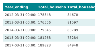
Waste & Recycling
Headline Performance for Kerbside Collection and Household Waste Recycling Centres
Performance figures for kerbside collection and Household Waste Recycling Centres in Cheshire East.
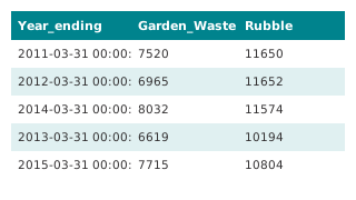 Table
Waste & Recycling
Materials Recycled at Household Waste Recycling Centres
Material recycled at Cheshire East Council Household Waste Recycling Centres provided by ANSA.
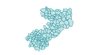 Map
Boundaries
Parishes in Cheshire East (2015)
Parishes, including Town and Parish Councils, have a significant range of powers and duties, giving them a unique and specific role within the community. Local councils undertake some of these duties and powers to varying levels and degrees